Images
Vidéos
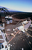
11738577 - Aerial view of NOAA monitoring lab on Mauna Loa

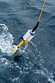
11647231 - NOAA shipwreck exploration
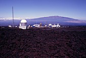
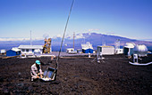
11738575 - View of NOAA monitoring lab on Mauna Loa,Hawaii
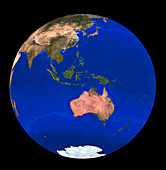
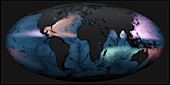
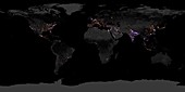
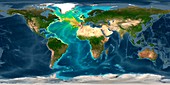
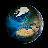
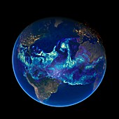
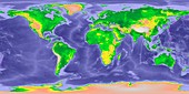
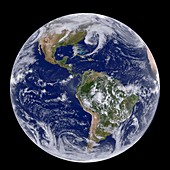
11735035 - Whole Earth NOAA satellite mosaic (1km resolution)
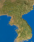
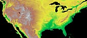
11735696 - NOAA satellite mosaic of Korea (1km resolution)
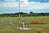
12057231 - NOAA Weather Station
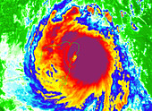
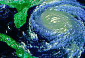
11737962 - NOAA satellite image of typhoon Dale
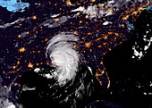
11737954 - NOAA satellite image of hurricane Fran near USA
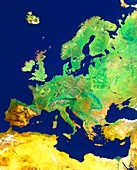
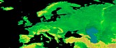
11735646 - Europe NOAA mosaic,summer
11737959 - NOAA satellite image of hurricane Roxanne
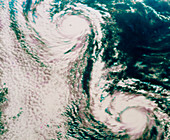
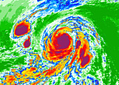
11737956 - NOAA satellite image of twin hurricanes
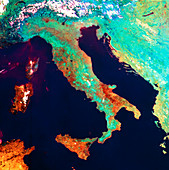
11736032 - Satellite image of Italy,NOAA
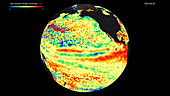
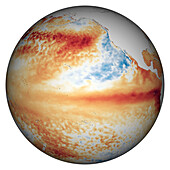
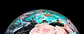
11739649 - False-colour NOAA satellite image of El Nino event
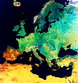
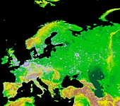
11735641 - Europe NOAA mosaic,summer
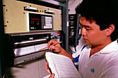
11738576 - IR spectrometer used in atmospheric analysis,NOAA
11737958 - NOAA satellite image of hurricane Fran near USA

11737951 - Infrared NOAA image of 1991 typhoon,Bangladesh
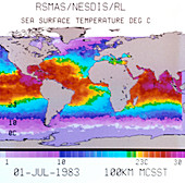
11739650 - NOAA image of 'El Nino' event
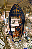
11889157 - NOAA-I in EMI testing chamber
11737957 - NOAA satellite image of hurricane Fran near USA

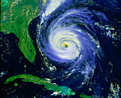
11737927 - NOAA Satellite image of hurricane Alicia
13673166 - Drifting ocean garbage, global simulation
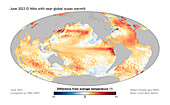
14077547 - El Nino and near global ocean warmth June 2023
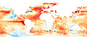
14077545 - Global sea surface temperatures April 2023
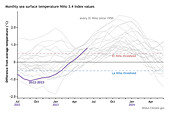
14077535 - Monthly sea surface temperatures using Nino 3.4 Index
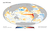
14077546 - El Nino climate pattern June 1997
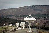
13524819 - Gilmore Creek ground station
14077539 - Sea surface height anomaly June 2023
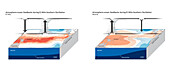
14077534 - Atmosphere-ocean feedback during El Nino, composite image

12960899 - Eastern Australia bushfires,satellite map

12960898 - Eastern Australia bushfires,satellite map
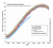
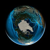
14077536 - Antarctic sea ice extent in 45-year period
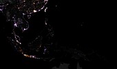
12959444 - Lighting intensity in Indonesia,2012-2016
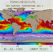
14077537 - Sea surface temperatures in Pacific Ocean 2023
13950802 - NASA's Earth Information Center ribbon cutting
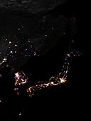
12959445 - Lighting intensity in Japan,2012-2016
13218080 - Drifting ocean garbage, global simulation

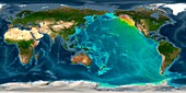
12646041 - World land and sea floor topography
12647968 - Delta Submersible Craft
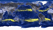
12948837 - World's storms between 1842 and 2017

12959443 - Lighting intensity in China and Japan,2012-2016

12646044 - Tsunami from 2010 Chile earthquake, computer model

12948838 - World's storms between 1842 and 2017
12959448 - Lighting intensity in Europe,2012-2016
12959447 - Lighting intensity in the Americas,2012-2016
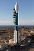
12450100 - Joint Polar Satellite System-1 launch preparation

12646046 - Tsunami from 2011 Japan earthquake, computer model

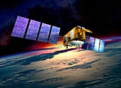
12582752 - Joint Polar Satellite System-1, illustration
12959446 - Global change in lighting intensity,2012-2016

12646043 - Tsunami from 1700 Cascadia earthquake, computer model
12489768 - 2018 Great Britain and Ireland cold wave, satellite image
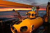
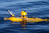
12647967 - Delta Submersible Craft
13455041 - Tropical Storm Ida over the southern USA, satellite image
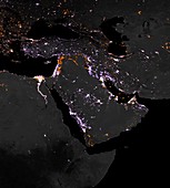
12959449 - Lighting intensity in Middle East,2012-2016

12489769 - 2018 Great Britain and Ireland cold wave, satellite image
12450101 - Joint Polar Satellite System-1 launch preparation
12646047 - Tsunami from 1755 Lisbon earthquake, computer model
12361543 - Europe, GLOBE map
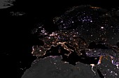
12361542 - Europe and city lights, GLOBE map
12646042 - Tsunami from 1964 Alaska earthquake, computer model
12489770 - 2018 European cold wave, satellite image
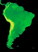
12361541 - South America, GLOBE map
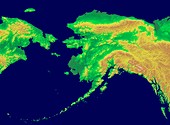
12361544 - Alaska, GLOBE map
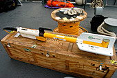
12651476 - Magnetometer, Ocean Survey Tool
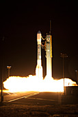
12582003 - GOES-S satellite launch, 2018
12450099 - Joint Polar Satellite System-1 preparation
11724420 - Europe and the anthroposphere
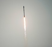
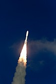
11731158 - Jason-3 satellite launch,January 2016
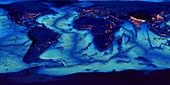
11724424 - Global ocean floor topography
11724419 - Atlantic atmospheric water vapour
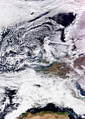
12489767 - 2018 Great Britain and Ireland cold wave, satellite image
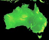
12361540 - Australia, GLOBE map
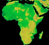
12361539 - Africa, GLOBE map
11731155 - Jason-3 satellite,illustration
11731156 - Jason-3 satellite,illustration
12582002 - GOES-S satellite launch, 2018
12361538 - GLOBE world map showing Ice Age sea levels
12361536 - GLOBE world map with bathymetry
12361545 - USA, GLOBE map
11729221 - Drifting ocean garbage,global simulation
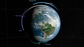
11696038 - GPM satellite constellation,illustration

12361535 - GLOBE world map
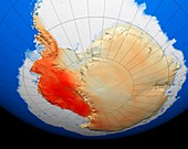
11693242 - Antarctic warming trend,1957-2006

11731157 - Jason-3 satellite launch,January 2016

12361537 - GLOBE world map with bathymetry and city lights
11724421 - The Arctic and the anthroposphere

11695353 - Hunt for the 'Alligator'
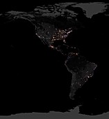
12361546 - USA and city lights, GLOBE map
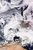
11690125 - Clouds over the Americas,GOES image
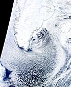
11641711 - Cloud streets,Greenland,satellite image
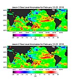
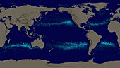
12098797 - Global map of sea surface height,2016
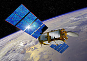
11731154 - Jason-3 satellite,illustration
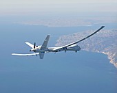
11699009 - Altair unmanned aerial vehicle
11695356 - Hunt for the 'Alligator'
11738579 - Air sampling on Mauna Loa,Hawaii
11615477 - Jason-2 satellite,artwork
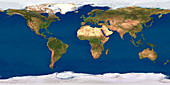
11735238 - Whole Earth map
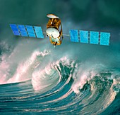
11615480 - Jason-2 satellite,artwork
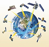
11696037 - GPM satellite constellation,illustration
page suivante
NOAA Photos ❘ Science Photo Library