Theodore Roosevelt Lake, aerial photograph
Numéro d’image : 13673637
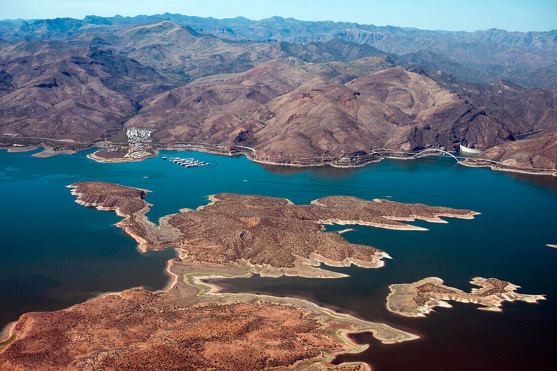
| Aerial photo of Theodore Roosevelt Lake, islands, bridge, and dam on the Salt River. The lake is in Tonto National Forest and mostly in Gila County, Arizona, USA. The 'bathtub ring' along the shore and around these islands shows how much the water level has been dropping. Aerial support by LightHawk. | |
| Licence : | Droits gérés |
| Crédit: | Science Photo Library / Universal Images Group / Wild Horizon |
| Taille de l’image : | 5500 px × 3670 px |
| Model Release : | Non requis |
| Property Release : | Non requis |
| Restrictions : | - |
Prix pour cette image À partir de 45 €
Produit vendu
(Calendrier, Carte postale, Carte de vœux, Impression sur textile, Packaging etc)
À partir de 45 €
Usage commercial
(Affichage, Annonce presse, Annonce TV, Carte, Digital - hors rés. sociaux, Digital - rés. sociaux etc)
À partir de 45 €
Éditorial
(Digital, Journal, Livre, Livre pratique, Magazine, Télévision etc)
À partir de 60 €
Usage non-commercial
(Digital - hors rés. sociaux, Digital - rés. sociaux etc)
À partir de 120 €