Declination compass, 19th century illustration
Numéro d’image : 13416706
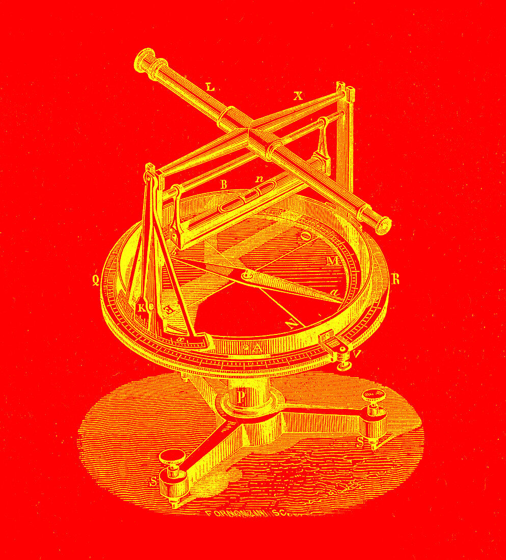
| Illustration of a declination compass or declinometer. The compass was used to measure the angle between the geographic and magnetic poles of the Earth. Image published in Physique Populaire (Emile Desbaux, 1891). | |
| Licence : | Droits gérés |
| Crédit: | Science Photo Library / Collection Abecasis |
| Taille de l’image : | 2955 px × 3272 px |
| Model Release : | Non requis |
| Property Release : | Non requis |
| Restrictions : | - |
Prix pour cette image À partir de 45 €
Produit vendu
(Calendrier, Carte postale, Carte de vœux, Impression sur textile, Packaging etc)
À partir de 45 €
Usage commercial
(Affichage, Annonce presse, Annonce TV, Carte, Digital - hors rés. sociaux, Digital - rés. sociaux etc)
À partir de 45 €
Éditorial
(Digital, Journal, Livre, Livre pratique, Magazine, Télévision etc)
À partir de 60 €
Usage non-commercial
(Digital - hors rés. sociaux, Digital - rés. sociaux etc)
À partir de 120 €