Cumulus humilis clouds from above
Numéro d’image : 12969652
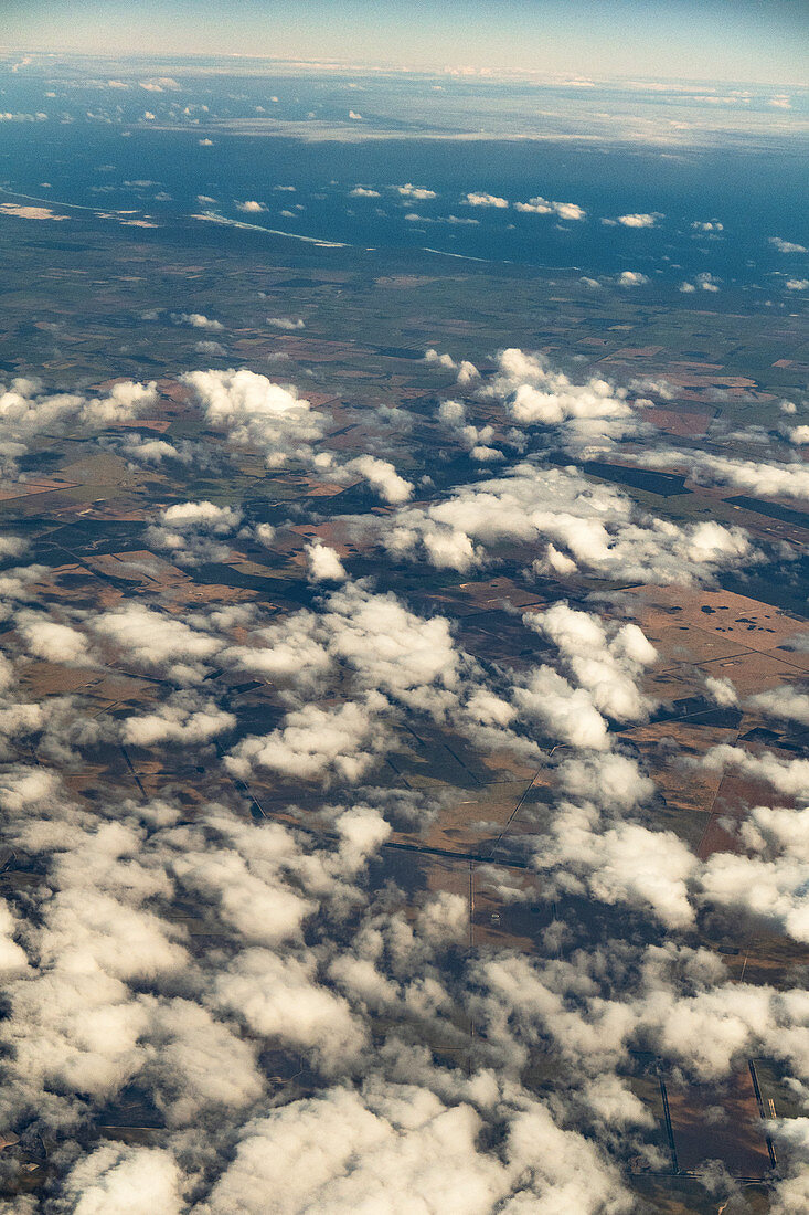
| Cumulus humilis clouds from above, over Australia. Cumulus clouds typically occur under 2000 metres altitude. They form from water vapour in rising columns of air which condenses as it cools. Cumulus clouds often form at cold fronts where the advancing, cool air forces warm air upwards. The humilis variety occurs either as the first stage of the formation of other cumulus types, or when heat transfer (convection) in the atmosphere is weak. Due to its shallow depth, cumulus humilis does not produce any significant weather. Photographed mid-afternoon in October over Western Australia, on a flight between Perth and Adelaide. | |
| Licence : | Droits gérés |
| Crédit: | Science Photo Library / STEPHEN BURT |
| Taille de l’image : | 3465 px × 5197 px |
| Model Release : | Non requis |
| Property Release : | Non requis |
| Restrictions : | - |
Prix pour cette image À partir de 45 €
Produit vendu
(Calendrier, Carte postale, Carte de vœux, Impression sur textile, Packaging etc)
À partir de 45 €
Usage commercial
(Affichage, Annonce presse, Annonce TV, Carte, Digital - hors rés. sociaux, Digital - rés. sociaux etc)
À partir de 45 €
Éditorial
(Digital, Journal, Livre, Livre pratique, Magazine, Télévision etc)
À partir de 60 €
Usage non-commercial
(Digital - hors rés. sociaux, Digital - rés. sociaux etc)
À partir de 120 €
Mots clés
- 2018,
- 21ème siècle,
- air,
- après-midi,
- atmosphère,
- aucun,
- Australie,
- Australie occidentale,
- australien,
- basse altitude,
- ciel,
- CUMULUS,
- cumulus humilis,
- météo,
- météorologie,
- météorologique,
- nuage,
- paysage,
- personne,
- phénomène atmosphérique,
- photo aérienne,
- photographie aérienne,
- physique atmosphérique,
- physique de l'atmosphère,
- printemps,
- vapeur d'eau,
- vue d'oeil d'oiseau,
- XX1ème siècle