Map of the British Isles, 1880s
Numéro d’image : 12920084
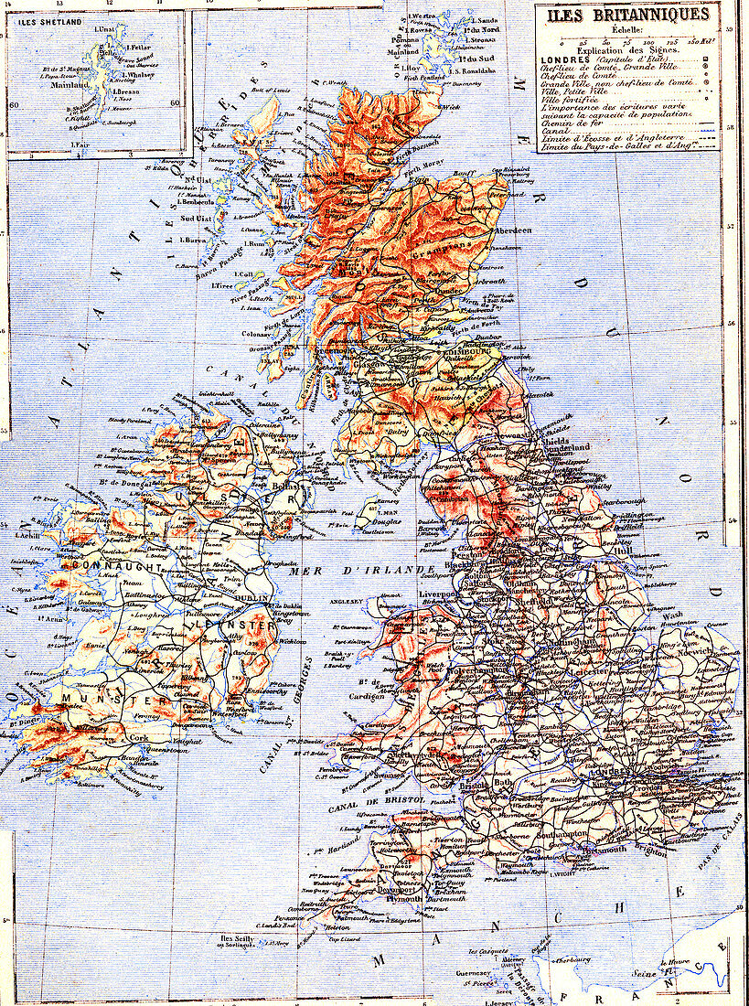
| Map of the British Isles, 1880s. 19th-century French map of the countries of the British Isles. This map is from an atlas published in 1887 by the French publisher Jules Trousset. | |
| Licence : | Droits gérés |
| Crédit: | Science Photo Library / Collection Abecasis |
| Taille de l’image : | 2675 px × 3591 px |
| Model Release : | Non requis |
| Property Release : | Non requis |
| Restrictions : | - |
Prix pour cette image À partir de 45 €
Produit vendu
(Calendrier, Carte postale, Carte de vœux, Impression sur textile, Packaging etc)
À partir de 45 €
Usage commercial
(Affichage, Annonce presse, Annonce TV, Carte, Digital - hors rés. sociaux, Digital - rés. sociaux etc)
À partir de 45 €
Éditorial
(Digital, Journal, Livre, Livre pratique, Magazine, Télévision etc)
À partir de 60 €
Usage non-commercial
(Digital - hors rés. sociaux, Digital - rés. sociaux etc)
À partir de 120 €
Mots clés
- 1800,
- 1887,
- 19ème siècle,
- anglais,
- Angleterre,
- années 1800,
- aucun,
- carte,
- cartographie,
- cartographique,
- écossais,
- Ecosse,
- étiqueté,
- étiquette,
- étiquettes,
- Europe,
- européen,
- français,
- gallois,
- géographie,
- géographique,
- Grande-Bretagne,
- graphique,
- histoire,
- historique,
- Iles Britanniques,
- illustration,
- irlandais,
- Irlande,
- label,
- marqué,
- pays,
- Pays de Galles,
- personne,
- Royaume Uni,
- Royaume-Uni,
- texte,
- XIXème siècle