Weather over Europe
Numéro d’image : 11736476
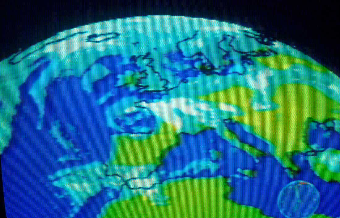
| Real-time computerised map of part of the Northern Hemisphere,showing cloud cover over Europe and parts of North Africa. Maps of this type are used in the weather forecasts on BBC Breakfast Time television,using data assembled from satellite and radar sources by the Meteorological Office | |
| Licence : | Droits gérés |
| Crédit: | Science Photo Library / Mason, Jerry |
| Taille de l’image : | 3910 px × 2516 px |
| Model Release : | Non requis |
| Property Release : | Non requis |
| Restrictions : | - |
Prix pour cette image À partir de 45 €
Produit vendu
(Calendrier, Carte postale, Carte de vœux, Impression sur textile, Packaging etc)
À partir de 45 €
Usage commercial
(Affichage, Annonce presse, Annonce TV, Carte, Digital - hors rés. sociaux, Digital - rés. sociaux etc)
À partir de 45 €
Éditorial
(Digital, Journal, Livre, Livre pratique, Magazine, Télévision etc)
À partir de 60 €
Usage non-commercial
(Digital - hors rés. sociaux, Digital - rés. sociaux etc)
À partir de 120 €