Shuttle Radar Topography Mission
Numéro d’image : 11681740
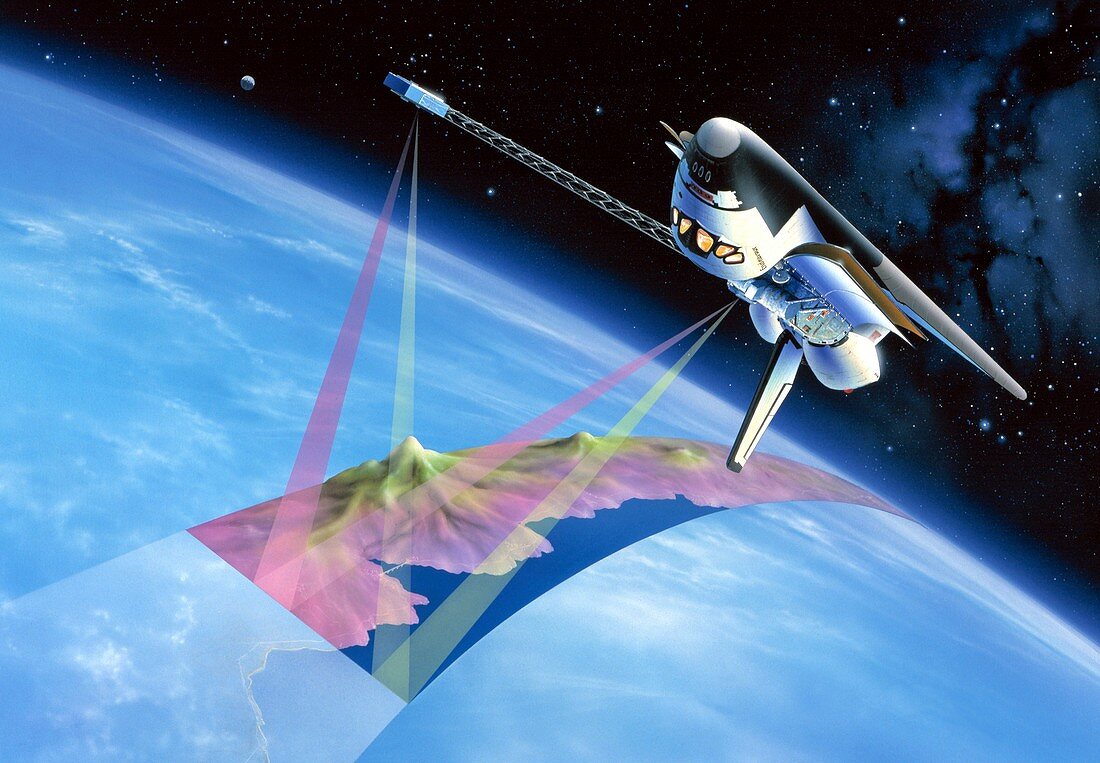
| Shuttle Radar Topography Mission (SRTM),artwork. This was an international project spearheaded by the National Imagery and Mapping Agency and NASA,with participation of the German Aerospace Center DLR. Its objective was to obtain the most complete high-resolution digital topographic database of the Earth. SRTM consisted of a specially modified radar system that flew onboard the Endeavour space shuttle during its 11-day mission,and Endeavour's fourteenth space flight,in February 2000. This radar system gathered around 8 terabytes of data to produce high-quality 3D images of Earth's surface | |
| Licence : | Droits gérés |
| Crédit: | Science Photo Library / Van Ravenswaay, Detlev |
| Taille de l’image : | 5276 px × 3661 px |
| Model Release : | Non requis |
| Property Release : | Non requis |
| Restrictions : | - |
Prix pour cette image À partir de 45 €
Produit vendu
(Calendrier, Carte postale, Carte de vœux, Impression sur textile, Packaging etc)
À partir de 45 €
Usage commercial
(Affichage, Annonce presse, Annonce TV, Carte, Digital - hors rés. sociaux, Digital - rés. sociaux etc)
À partir de 45 €
Éditorial
(Digital, Journal, Livre, Livre pratique, Magazine, Télévision etc)
À partir de 60 €
Usage non-commercial
(Digital - hors rés. sociaux, Digital - rés. sociaux etc)
À partir de 120 €
Mots clés
- balayage,
- cartographie,
- cartographier,
- centre aérospatial allemand,
- DLR,
- Endeavour,
- espace,
- haute résolution,
- illustration,
- machine,
- mission,
- mission de topographie radar de la navette,
- NASA,
- navette spatiale,
- numérisation,
- observation de la terre,
- oeuvre,
- scanographie,
- shuttle radar topography mission,
- SRTM,
- topographie,
- vaisseau spatial,
- véhicule,
- vol spatial