North America,satellite image
Numéro d’image : 11590569
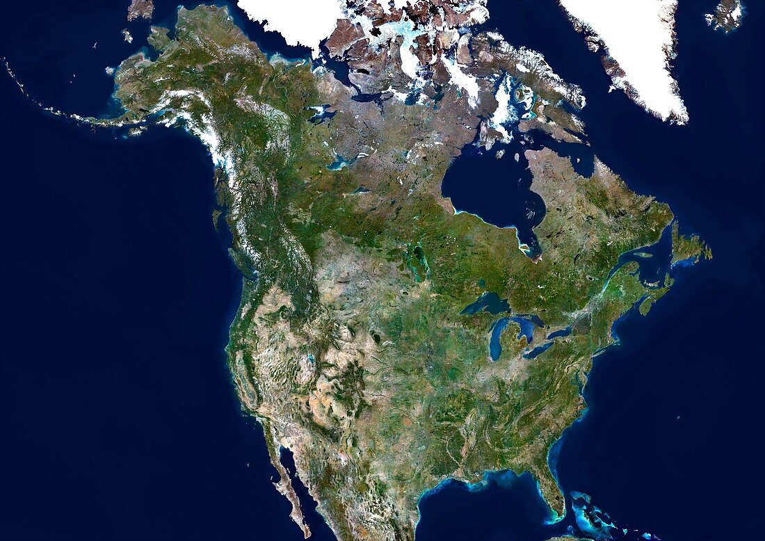
| North America,satellite image. North is at top. Green areas are vegetated,yellow areas are desert and white areas are snow or ice. The Great Lakes are seen at centre left on the USA Canada border. At right is the Atlantic Ocean and at left is the Pacific Ocean. Composite image from Landsat 5 and 7 satellites | |
| Licence : | Droits gérés |
| Crédit: | Science Photo Library / Planetobserver |
| Taille de l’image : | 4969 px × 3514 px |
| Model Release : | Non requis |
| Property Release : | Non requis |
| Restrictions : | - |
Prix pour cette image À partir de 45 €
Produit vendu
(Calendrier, Carte postale, Carte de vœux, Impression sur textile, Packaging etc)
À partir de 45 €
Usage commercial
(Affichage, Annonce presse, Annonce TV, Carte, Digital - hors rés. sociaux, Digital - rés. sociaux etc)
À partir de 45 €
Éditorial
(Digital, Journal, Livre, Livre pratique, Magazine, Télévision etc)
À partir de 60 €
Usage non-commercial
(Digital - hors rés. sociaux, Digital - rés. sociaux etc)
À partir de 120 €
Mots clés
- Alaska,
- américain,
- Amérique du Nord,
- baie d'Hudson,
- baie de Hudson,
- Canada,
- canadien,
- continent,
- côte,
- couleur vraie,
- eau,
- Etats-Unis,
- géographie,
- géographique,
- grands Lacs,
- image satellite,
- Landsat 5,
- landsat 7,
- littoral,
- Mexique,
- N/A,
- observation de la terre,
- Océan Atlantique,
- Océan Pacifique,
- océans,
- pays,
- satellite,
- US,
- USA,
- vraie couleur