Frank Slide,Canada,satellite image
Numéro d’image : 11550402
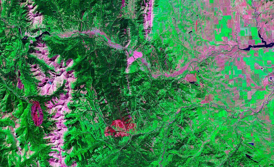
| Frank Slide. Satellite image of the southern Rocky Mountains,Alberta,Canada. North is at top. Vegetation is green,bare ground is pink. The two wide pink areas at upper centre are Frank Slide,a feature left by the collapse of the east face of Turtle Mountain on 29th April 1903. During the massive landslide 74 million tonnes of rock fell and came to cover 3 square kilometres of the valley floor. Over 70 people in the town of Frank below the mountain were killed. Image taken by Landsat 7 | |
| Licence : | Droits gérés |
| Crédit: | Science Photo Library / NASA |
| Taille de l’image : | 5370 px × 3272 px |
| Model Release : | Non requis |
| Property Release : | Non requis |
| Restrictions : | - |
Prix pour cette image À partir de 45 €
Produit vendu
(Calendrier, Carte postale, Carte de vœux, Impression sur textile, Packaging etc)
À partir de 45 €
Usage commercial
(Affichage, Annonce presse, Annonce TV, Carte, Digital - hors rés. sociaux, Digital - rés. sociaux etc)
À partir de 45 €
Éditorial
(Digital, Journal, Livre, Livre pratique, Magazine, Télévision etc)
À partir de 60 €
Usage non-commercial
(Digital - hors rés. sociaux, Digital - rés. sociaux etc)
À partir de 120 €
Mots clés
- 1903,
- ALBERTA,
- Amérique du Nord,
- calcaire,
- Canada,
- canadien,
- caractéristique,
- catastrophe naturelle,
- de l'espace,
- éboulement,
- effondré,
- Frank,
- FRANK SLIDE,
- géographie,
- géographique,
- géologie,
- géologique,
- glissement de terrain,
- histoire,
- historique,
- image satellite,
- instable,
- landsat 7,
- Les Rocheuses,
- montagne,
- montagnes,
- Montagnes Rocheuses,
- nord américain,
- nord-américain,
- observation de la terre,
- Rockies,
- satellite