Car navigation system
Numéro d’image : 11897963
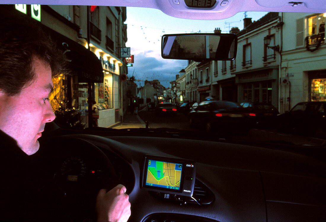
| Car navigation system. Driver using a car on-board navigation system. This is the Philips CARiN system. It uses GPS (Global Positioning System) satellite signals,as well as the car's instruments and its own gyroscopic sensors,to determine the car's position. It uses a map on CD-ROM to work out the route to the desired destination,and gives the driver voice directions as well as visual prompts | |
| Licence : | Droits gérés |
| Crédit: | Science Photo Library / Psaila, Philippe |
| Taille de l’image : | 4539 px × 3101 px |
| Model Release : | Le droit n'est pas encore disponible. Merci de nous contacter avant utilisation. |
| Property Release : | Non requis |
| Restrictions : | - |
Prix pour cette image À partir de 45 €
Produit vendu
(Calendrier, Carte postale, Carte de vœux, Impression sur textile, Packaging etc)
À partir de 45 €
Usage commercial
(Affichage, Annonce presse, Annonce TV, Carte, Digital - hors rés. sociaux, Digital - rés. sociaux etc)
À partir de 45 €
Éditorial
(Digital, Journal, Livre, Livre pratique, Magazine, Télévision etc)
À partir de 60 €
Usage non-commercial
(Digital - hors rés. sociaux, Digital - rés. sociaux etc)
À partir de 120 €
Mots clés
- à bord,
- automobile,
- avec,
- carte,
- conducteur,
- directions,
- entier,
- G.P.S.,
- global,
- global positionning system,
- GPS,
- homme,
- information,
- intégré,
- masculin,
- navigation,
- ordinateur,
- positionner,
- satellite,
- système,
- système de géolocalisation,
- tableau de bord,
- technologie,
- transport,
- usage,
- utilisation,
- utiliser,
- véhicule,
- véhicule à moteur,
- voiture